The successful GRACE mission and now its successor GRACE Follow-On, has provided Earth scientists with unprecedented insights into how mass is redistributed across the Earth’s surface and subsurface. In particular, hydrologists are now able to map globally and on a monthly basis the variations of terrestrial water storage, which is a fundamental component of the water cycle. The analysis of the spatio-temporal variability of this field has enabled scientists to quantify the impact of natural climatic variability on the water cycle but has also revealed the anthropogenic origin of some observed trends in groundwater depletion.
Going one step forward, we attempt in this work to infer from data a dynamical model of the water flow at sub-basin scales and thereby, a model of the natural fluctuations of the terrestrial water storage. Such a model will for instance facilitate the forecast of storm flows or help better quantify the response of a catchment to a period of low or no precipitation. We follow a data-driven approach constrained by first principles and borrow tools and concepts developed in the fields of dynamical system and control theory.
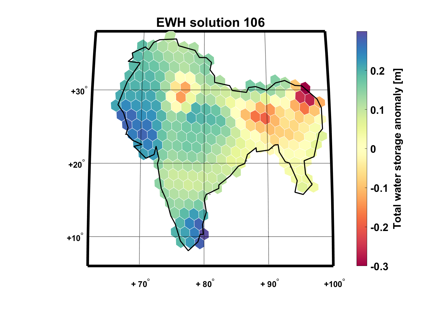
 Figure: Example of the division of the Indian subcontinent into arbitrary sub-regions.(CC BY 4.0)
A given region of interest is first divided into arbitrary sub-regions of equal areas (see Fig. 6) and for which we compute the time series of monthly terrestrial water storage anomaly and the input of precipitation water corrected for the evapotranspiration. To begin, we only consider linear models where the drainage of each sub-region is supposed to be proportional to its total water storage. The main objective is then to infer from the data the large matrix encoding the network of water flux between the different sub-regions. The use of dynamical mode decomposition (DMD) seems to be a promising algorithm to determine this matrix while tackling the potential problem of high dimension.

