In the research field of satellite gravimetry, GIS is known for methodological developments in terms of gravity field determination from satellite observations. Methods like the accelorometry approach for gravity determination from low earth orbit (LEO) or the method of invariants for satellite gradiometry have their roots in Stuttgart. Moreover, GIS has expertise in characterizing the spatio-temporal sampling behaviour of current and future gravimetry satellie missions and describing the typical error structure of their products, including the associated filter theory.

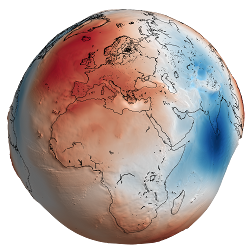
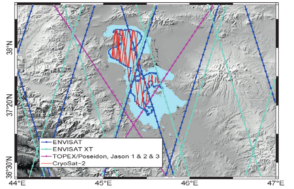
The overall reasearch objective at GIS is the consistent modellingand analysis of data from various geodetic satellite missions and their use in the realted Earth sciences. As an example, the satellite gravimetry mission GRACE is able to observe the hydrological cycle at continental scales. The corresponding changes in groundwater storage imply changes in crustal loading which can, in turn, be correlated to displacements in global GNSS networks (GPS, Galileo). On the other hand, water levels in larege river systems can be globally determined by satellite altimetry. GIS develops methods to optimize such water heights spatially and temporally, and to transform them into hydrological useful river discharge. Such a hydrological application is just one example of geodetic monitoring in the general field of Earth system science.
The heterogeneity of the aforementioned satellites, sensors, methods ansapplications requires a profound geodetic knowledge along the whole process chain.