The July 29, 2021 Mw 8.2 Chignik earthquake ruptured the Semidi segment of the Aleutian subduction zone megathrust. The Semidi section may have high tsunami generation potential, and could direct maximum tsunami wave amplitudes toward the U.S. west coast. Our team, with Prof Foster and scientists from the U.S. Geological Survey, University of California San Diego, Lamont Doherty Earth Observatory, University of Washington, and University of North Carolina at Wilmington, mounted a response to remeasure a GNSS-acoustic station located on the seafloor in the immediate vicinity of the Chignik rupture. This station, ‘SEM1’, is located immediately near where preliminary models, using only data from land-based measurements, show slip tending to zero. Our displacement measurement for SEM1 will therefore place important constraints on the slip distribution nearest the trench – the zone that generates tsunamis. We made waveglider-based measurements in October 2021. We will use these measurements to determine the surface displacement for SEM1 and use this to improve the fault slip estimates and to assess the fault area available for potential future earthquakes and its tsunamigenic potential.
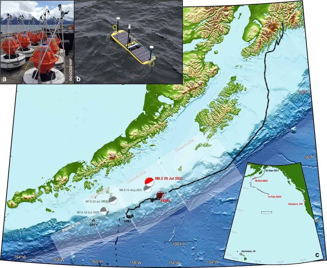
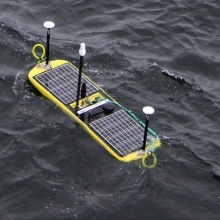
Map of the 2021 Waveglider Alaska Earthquake Response mission to re-measure the seafloor geodetic station SEM1 (in red) in response to the M8.2 Chignik earthquake (red “beachball”). Waveglider track (black line), previous recent large earthquakes (gray beachballs) and other 2 seafloor stations (black triangles) are shown. Different segments of the subduction zone megathrust fault are shown in white rectangles with the estimated degree of fault locking (which controls the rate of strain buildup). Insets: a shows the instruments that have been deployed to the seafloor (3 per station); b shows the Waveglider; c regional map showing current location of the Waveglider as it returns to Newport Or, for recovery. ( inspect the figure ) / James Foster
The network of 3 seafloor station was originally deployed to improve our understanding of the frictional properties of this section of the Aleutian subduction zone megathrust fault. Previous research had estimated that this sequence of segments of the fault become increasingly less “locked” towards the west. This means less strain is built up as the Pacific tectonic plate moves under the North American plate. The details are crucial for our ability to determine earthquake and tsunami hazards from this region. Our team has been making measurements of the three seafloor geodetic sites using the Waveglider to allow us to improve estimates of the amount of locking. We also acquired extra measurements after the 2 large earthquakes in 2020 to determine the ground motions caused by these events.

James Foster
Prof. Dr.Chair of Geodetic Space Techniques