The Institute of Geodesy has more than 150 years of history.
Today there are two departments: 'Höhere Geodäsie' and physical & satellite geodesy
research activities
- investigation of the system Earth, geodetic aspects of global changes
- modelling of the gravity field based on satellite gravimetry (GOCE, GRACE)
- design and simulation of future gravitiy field missions (NGGM)
- application of satellite gravimetry for hydrological modelling
- satellite altimetry: gauges of rivers and lakes, river discharge rates
education
The institute offers more than 20 courses in the german bachelor and master program Geodäsie und Geoinformatik and in the english master program GEOENGINE.
Since many years there are international educational cooperations and exchange programs for students with the university of Calgary (Canada) and the university of Wuhan (China).

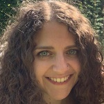
Tamara De Francesco
B.A.Secretary

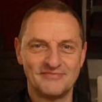
Nico Sneeuw
Prof. Dr.-Ing.Head of Institute, Chair of Physical and Satellite Geodesy, Vice Dean

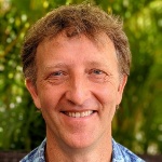
James Foster
Prof. Dr.Chair of Geodetic Space Techniques


